Navigation
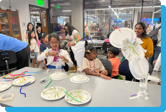
The Engineering Navigator is a prototype AI-powered platform that connects students, families, and educators to engineering opportunities across the U.S. To show the power of this tool, we're focusing on North Carolina, where we're mapping local events and programs to show what's possible when communities are connected.
Failed to load Google Maps. Please check your connection or try again later.
Failed to load Google Maps. Please check your connection or try again later.
Failed to load Google Maps. Please check your connection or try again later.
Failed to load Google Maps. Please check your connection or try again later.
1 Gps Events Found
NEXT Scholars: Geospatial Engineering
A field-based program for students grades 9-11 exploring geospatial engineering in the Keweenaw Peninsula. Students use advanced tools including drones, GPS, and surveying instruments to map wetlands, forests, and coastlines. Participants collect and analyze data, create maps, and learn how geospatial engineering protects wildlife habitats and guides sustainable development.
Michigan Technological University
10 seats sponsor...
10 seats sponsored in full by Atwell LLC
6/14/26
URL Copied Successfully
Jun
14
NEXT Scholars: Geospatial Engineering
A field-based program for students grades 9-11 exploring geospatial engineering in the Keweenaw Peninsula. Students use advanced tools including drones, GPS, and surveying instruments to map wetlands, forests, and coastlines. Participants collect and analyze data, create maps, and learn how geospatial engineering protects wildlife habitats and guides sustainable development.
10 seats sponsor...
10 seats sponsored in full by Atwell LLC
In-Person
Jun 14, 2026
01-15-2026
URL Copied Successfully
